The Role of Drones in Warehouse Construction
Drones, or unmanned aerial vehicles (UAVs), have become indispensable in modern construction. Their ability to capture real-time aerial data allows project teams to monitor progress, survey sites, and detect potential issues much earlier than traditional methods.
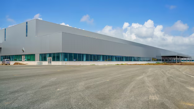
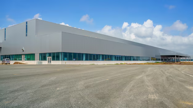
For warehouse builders, drones provide an aerial view of large construction sites, ensuring that every aspect—from foundation to roof installation—is executed with accuracy. They help identify irregularities in structural alignment, detect material shortages, and verify design compliance without manual intervention.
At Kaizen PreFab, drones play a vital role in the pre-engineered building (PEB) process. By conducting aerial surveys before construction begins, our team can assess site conditions, plan layouts efficiently, and minimize rework. This data-driven approach not only enhances accuracy but also speeds up the overall project timeline.
3D Mapping: The Next Step Toward Precision Engineering
3D mapping technology complements drone capabilities by transforming raw aerial data into detailed, three-dimensional models. These models allow architects, engineers, and builders to visualize the entire warehouse structure before physical work begins.
Through 3D mapping, builders can analyze terrain contours, soil conditions, and drainage systems. This ensures that the warehouse foundation and layout are designed with maximum stability and efficiency. For Kaizen PreFab, incorporating 3D mapping into the PEB design process helps eliminate guesswork and promotes precise fabrication and installation of steel components.
Moreover, 3D models serve as a reliable reference point during each construction phase. Teams can track progress, compare actual site data with digital plans, and identify deviations instantly. This results in reduced errors, improved safety, and optimized resource utilization.
Combining Drones and 3D Mapping for Smarter Construction
When used together, drones and 3D mapping create a powerful ecosystem of information. Drones collect extensive visual and spatial data, while 3D mapping software processes it into actionable insights. This combination ensures:
Accurate site surveys within hours instead of days
Efficient resource allocation and real-time project monitoring
Enhanced communication among stakeholders through visual data
Better decision-making with predictive insights and digital visualization
For warehouse builders, this integration means improved design precision, faster turnaround, and reduced construction risks—key factors in today’s competitive market.
Kaizen PreFab: Pioneering Smart Construction in India
As a trusted PEB supplier in Delhi, Kaizen PreFab continues to adopt modern technologies that redefine construction standards. Our team leverages drone surveying and 3D mapping to deliver PEB warehouses that meet the highest benchmarks of quality and durability.
By combining advanced engineering tools with sustainable building practices, we help clients achieve faster project completion, cost efficiency, and long-term structural integrity.